Kootenai Trail Survey 2019 - Passport in Time
Main menu:
Current Projects > 2019
Montana - Flathead NF
Closed! Documenting the Kootenai Trail

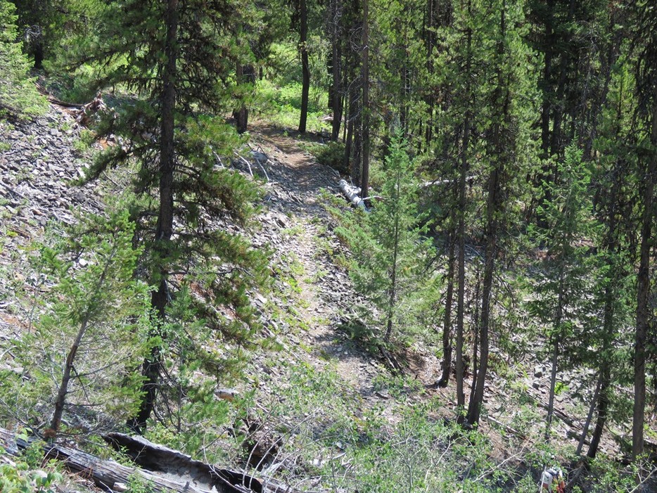
Segment of the Kootenai Trail
MT-4419
August 19-23, 2019
Volunteers must commit to entire session
Join the Flathead National Forest Heritage team as we survey and record segments of the Kootenai Trail in northern Montana near the Canadian border! The Kootenai Trail was an important east-west route for the Kootenai people of northwestern Montana. They would travel this route from the Tobacco Plains near Eureka to hunt Bison on the eastern plains. The Trail was used in all seasons, and was called the “Buffalo Trail” by the Tobacco Plains Kootenai; it is believed that this trail was used for more than 8000 years! However, although pre-Contact (ca. ±1600s A.D.) use of this area was extensive, few sites have been thoroughly documented. Segments of the trail still remain, and are visible along Trail Creek. They need to be documented before they disappear completely, and we need your help! PIT participants will hike along the Kootenai Trail, documenting those segments still visible, while also looking for archaeological evidence of other areas utilized by the Kootenai people.
The Trail Creek drainage is located off of the North Fork Road, a busy north-south dirt road that parallels the North Fork of the Flathead River. It is used to access beautiful Glacier National Park and Flathead National Forest lands. This part of Montana offers spectacular views, abundant recreation, and is a popular destination for people from all over the world. We hope to see you this summer in this magnificent setting of the “big sky country!”
Number of openings: 4
Special skills: Volunteers must be physically capable of hiking 3-4 miles per day, over often rough terrain, and variable weather conditions; previous archaeological survey, mapping, GPS, and/or artifact identification (particularly pre-Contact/Kootenai) helpful, but not required
Minimum age: 18 years old
Facilities: Campsites will be provided and reserved by the Forest Service at the Tuchuck campground (https://www.recreation.gov/camping/poi/239276); vault toilet; Columbia Falls is the closest full-service community (50 miles/1.5-hour drive on the unpaved North Fork road), but offers hotels/motels, restaurants, and a full range of other amenities; community of Polebridge (~30 minutes from project area) stocks essential items plus some delicious baked goods; volunteers responsible for own lodging/camping equipment, food, water, and daily transportation to designated meeting area (if opting to lodge off-site); communal meals also an option, and evening fun will be provided; please note: this is grizzly bear country, so volunteers must be cautious with food storage; food storage lockers provided in the campground
Nearest towns: Columbia Falls, 50 miles
Applications due: June 24, 2019
View Kootenai Trail Survey in a full screen map